
By Noel Bunce
Pakenham Camera Club members recently took to the hills and valleys around the hamlet of Rawson for a weekend of trekking and photography.
Located on the Tyers-Thomson Valley road in the Shire of Baw Baw, Rawson was established in 1977 as a camp for workers involved in the construction of the Thomson dam.
Land title information shows the area was first settled as farmland in 1915 by Charles and Violet Rawson of Walhalla. Following the death of Charles in 1942 and Violet in 1950 the estate passed to their son Clarance.
Melbourne and Metropolitan Board of works acquired the property in 1971 and it became part of the construction town for the Thomson Dam project. The MMBW initially named the town Robertson after the chief engineer Alan Robertson, however, locals objected strenuously saying the town should be known as Rawson in honour of the original settlers.
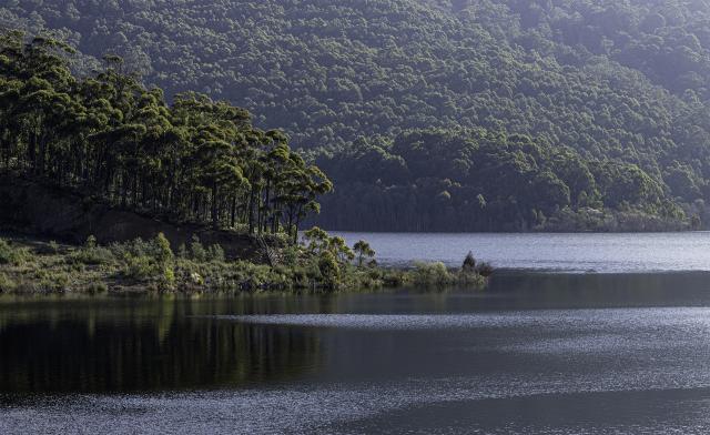
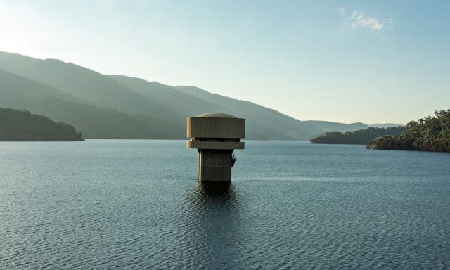
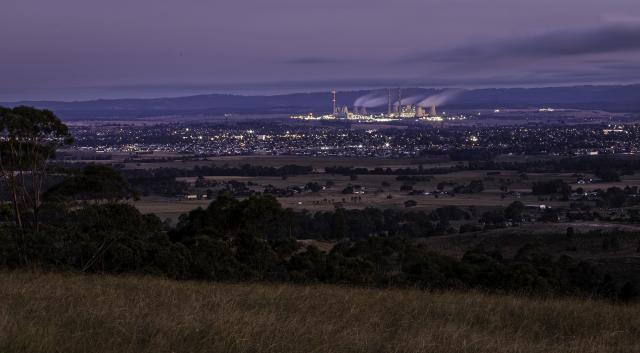
Following completion of the dam, which supplies approximately 60 per cent of Melbourne’s water, in 1983, the town was sold off to private enterprise and has become home to some 300 residents. The village has also become a holiday destination catering to activities such as bushwalking, hiking, 4WD exploration, mountain biking, trout fishing, white-water adventuring, historical discovery, cross-country skiing, gold fossicking, deer hunting, and trail bike riding.
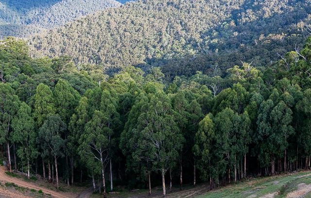
Members set of in pairs, groups and as individual exploring areas from Yallourn in the south to the Thomson Dam in the north and many of the tracks, hills and gullies in between. Walhalla was a popular lunch destination on the Saturday.
Also popular was the area around the Mt Erica car park in the Baw Baw National Park.
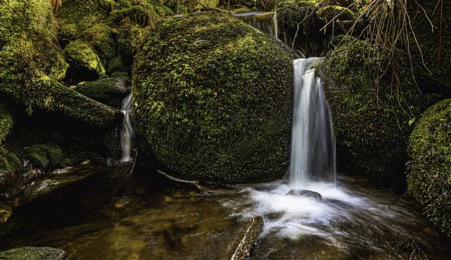
The main area of interest for “single day” hiking here would be the moss-covered granite boulders known as Mushroom Rocks. These amazing formations which, have come about due to earthquakes and weathering over millions of years, start to appear as huge round boulders and simple large slabs early in the walk. As the hiker proceeds further along the gentle climb the “mushroom” forms start to appear along with picnic and camping areas.
For the more adventurous further on are the Talbot Hut Ruins and Mount St Gwinear. This is also so the start of the 650km Australian Alps Walking Trail which will take the more experienced, brave or, fool hardy, all the way to Canberra.
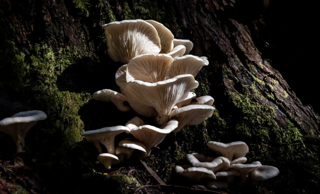
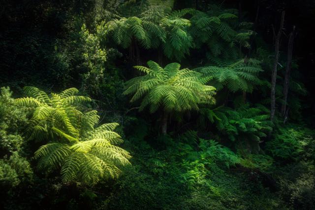
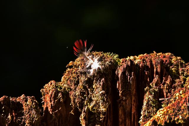
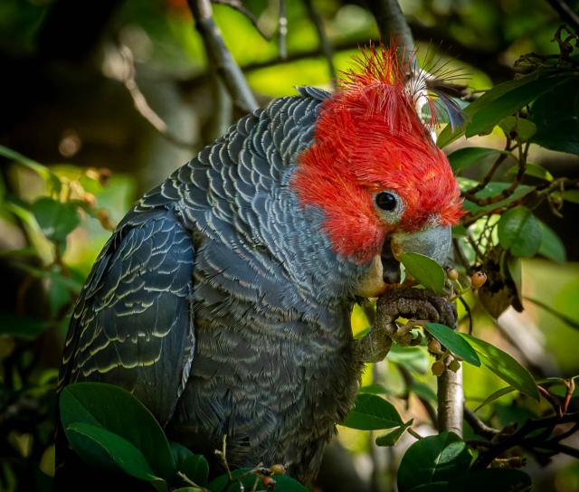
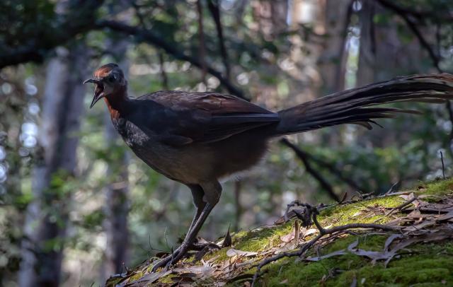
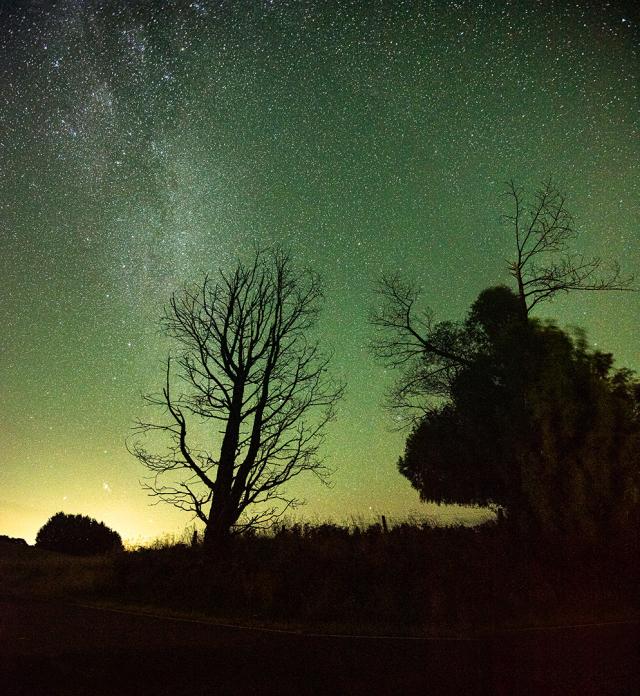
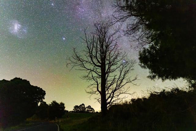
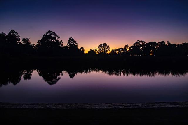
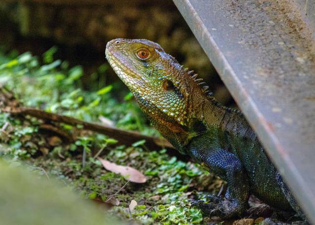
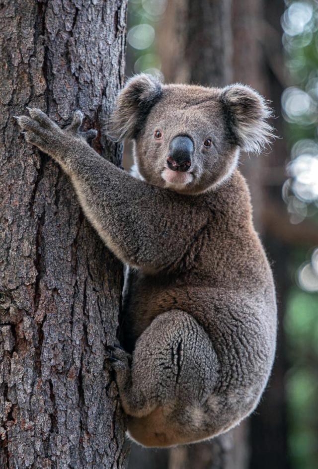
Flora and fauna abound in the area making it is a wonderful place for landscape and birding photography. Julie Oates and Maria Bastin also took a group out to tackle their first attempts at Astro photography. The dark skies and long exposures revealing much more than the naked eye can take in!
References – Erica and District Historical Society, located in the old Rawson Police Station.


